Newfoundland 1775 Map - An Old Map of Newfoundland by Captain Cook

From 1763 to 1767 James Cook made a detailed survey of the coasts of Newfoundland and southern Labrador (Canada) and published this map. This is a general chart of the island of Newfoundland Surveyed by Cook and M. Lane, and presented to the King in 1775.


Popular posts from this blog

Greek Colonization of Western Asia Minor 11th-18th Centuries B.C

Map of Roman Empire 300 A.D

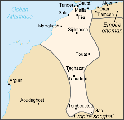
Saadian Empire Map 1590 - Historical Map of The Saadi dynasty of Morocco

Popular posts from this blog

Sibirya

Map of Roman Empire 300 A.D

Map of Crusades and Cities on Routes

Hunger Map of Europe 1918

Search This Blog